
Walk an Austin Street Record by Record
An Austin street directory works best as a parcel-by-parcel check, not as a list of people. Begin an Austin street check with the number and street string in the appraisal search. That result can supply an account number and a situs address, the property location used to identify the parcel. Next, open the same location in the City of Austin map, where Austin parcel, lot, subdivision, permit, zoning, ZIP, census, and annexation layers provide context. The Austin deed index can then connect recorded parties and instruments to the legal parcel. Austin historical address entries add dated clues, but they do not turn an address search into a current household roster.
- Search the address in TCAD Property Search for an Austin address. If a number or abbreviation misses, TCAD recommends broadening the search or trying the street name without suffixes.
- Save the account number, situs address, and legal-description clues shown on the Austin parcel card. Those fields are steadier joins than a name, which may be abbreviated or carried by an entity or estate.
- Locate the parcel in Austin Property Profile for the Austin street. Check the parcel, lot, block, recorded subdivision, and address layers before comparing nearby features.
- Use the Travis County Clerk recording index for the Austin deed trail. Capture the instrument number, recorded date, document type, grantor, grantee, and legal description.
- For an Austin historical occupant clue, use the Austin History Center biographical guide to identify the relevant address source. Travis voter lookup is an individual first-name, last-name, and birth-date search, not a street-wide browse.
Keep the map layer name and query date with each Austin result. The appraisal account, map popup, and recorded deed have different custodians and different limits, so agreement between them is more useful than repeating one search.
Austin TCAD Street Search Fields
The Austin TCAD landing page offers owner name, property address, account number, DBA, and map-search routes. An Austin by-street TCAD search should begin with the property-address field, then expand to a street-only search when the exact number or abbreviation does not return a match. Austin TCAD calls its current-year information a work in progress and prior-year information informational. The Austin appraisal record is useful for an account snapshot, but it does not establish title, current residence, or occupancy.
The official Austin TCAD property search is the source shown here.
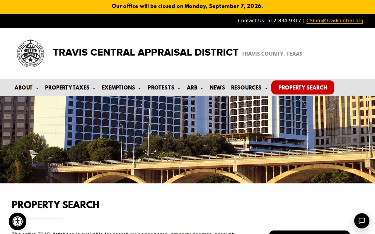
Use the Austin search screen to choose the narrowest available field first, then retain the result date because the account view can change with the appraisal cycle.
| TCAD or GIS field | Input type | Required | Austin search use |
|---|---|---|---|
| Owner Name | Text | Optional on the landing page | Omit suffixes and broaden fewer words when abbreviations affect matching. |
| Property Address | Text | Optional | Use an Austin number and street name; a street-only search can broaden results where supported. |
| Account Number | Text | Optional | Use the exact account value from an earlier Austin parcel card. |
| DBA | Text | Optional | Austin TCAD offers this assumed-name route; matching behavior is not stated on the landing page. |
| Map Search | Button or link | Optional | Opens an Austin map route with controls that depend on the live application. |
| Address Locator | Locator or text | Optional | In Austin Property Profile, select an address feature and then inspect parcel or lot layers. |
When an Austin card opens, note the account or parcel number, owner as shown, property and mailing addresses, legal description, values, exemptions, and any sketch or characteristic fields actually displayed. A homestead flag is only an occupancy clue, not a statement about every person connected to the address.
Map an Austin Street by Parcel
Property Profile is the Austin address tool for spatial context. Turn on Austin TCAD parcels and parcel IDs, then add lot lines, lot and block IDs, recorded subdivision, addresses, permits, zoning, historic layers, ZIPs, census areas, and annexation history as needed. Click a feature and preserve the feature ID, source layer, map date, and layer name. Pan along the street and open one parcel at a time rather than assuming an Austin map label describes the whole block.
The City of Austin Property Profile viewer is shown below.
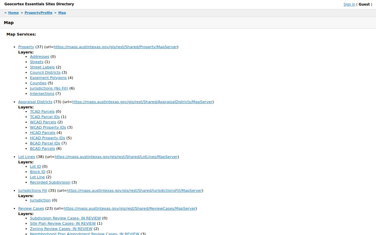
The Austin map can place a parcel beside a permit, historic, flood, ZIP, or annexation layer, but a popup is not a certified record and it does not identify a household.
Historic Austin aerial imagery in the viewer is useful for dated building context. The layer set includes aerial years from 1940 through 2023, although an aerial image shows buildings and site conditions, not the names of people at an address.
Note: Austin layer fields and map controls may change, so preserve the layer name and checked date with an Austin street search.
Austin Address Record Coverage
Address-keyed records answer different parts of an Austin by-street question. Austin TCAD supplies appraisal context. The Travis County Clerk indexes Austin recorded instruments. Austin Property Profile shows mapped context. Austin AB+C and Citizen Connect can add municipal project or case information, while Austin historical directories provide an address-to-householder clue for the edition consulted. Use the stable Austin parcel and legal-description fields to compare sources instead of treating a shared street label as a match by itself.
| Address record | Local keeper | What it can show | Access and limit |
|---|---|---|---|
| Appraisal account | Austin TCAD | Owner or account, situs and possible mailing address, values, exemptions, and parcel clues | Online name, address, account, or DBA search; current-year work in progress and no warranty. |
| Deed, lien, or deed of trust | Travis County Clerk, serving Austin property records | Recorded parties, instrument type, date, number, legal description, and referenced documents | Public index and images where available; certified or older copies through the Clerk. |
| Plat or subdivision | Travis County Clerk and City of Austin GIS | Lot, block, subdivision, and recorded geometry references | Use the recording search with the GIS lot and subdivision layers. |
| Parcel map layer | Austin Property Profile | Parcel, lot, zoning, historic, permit, planning, flood, ZIP, and annexation context | Public map with layer-dependent feature fields. |
| Permit or site plan | Austin Development Services AB+C | Project or folder, linked address, type, date, notes, attachments, and related permits | Public search; older gaps may require records or a public-information request. |
| Historical directory | Austin History Center, Briscoe, or TSL | Dated address-to-householder or occupant context, as the edition records it | Selected scans, Reading Room, microform, or archive request; coverage has gaps. |
Austin permits record an application or authorization, not proof that work was completed. An Austin code complaint is an allegation or service record, not a final violation finding. Those limits keep an address record from being overstated.
Austin Deeds Along a Street
The County Clerk public search for Austin records has Quick Search and Advanced Search, a Land Records department, recorded-date controls, and an Index Only or Index & Full Text/OCR scope choice. Austin search terms can include grantor, grantee, subdivision, document type, and document number. An address result becomes more reliable when a deed’s legal description agrees with the TCAD account and GIS parcel rather than only repeating the same surname.
Run both sides of the index. The Archives guide describes direct grantor and indirect grantee indexes, and spelling variants matter. An online print can be free but unofficial and watermarked. Clerk-made copies cost $1 per page, certified copies add a $5 certification fee plus copy charges, and the Clerk also offers self-service and microfilm or computer copy routes under its current fee schedule.
- Party name and the grantor or grantee role
- Instrument or document number and document type
- Recorded date and the searched date range
- Legal description, subdivision, and referenced instruments
- Whether the result offers an image or document link
Most recording-index data is online from the mid-1980s forward. The Clerk’s permanent library has documents dating to the 1800s, and older work may require books, microfilm, or archival holdings. A deed is not a title opinion, so preserve the referenced instruments and consult the custodian for the kind of copy needed.
Austin Plats Behind Street Numbers
Old Austin instruments may not use the street number now seen in a current Austin address record. Match the modern address to the lot, block, subdivision, abstract or survey description, easement, and neighboring-tract references. Austin City GIS can help with lot lines and recorded subdivisions, but the Clerk’s recorded instrument controls the legal description.
- Parcel
- A mapped unit of land used to connect an appraisal account, parcel ID, and related map layers.
- Situs address
- The property’s physical location for appraisal identification. It is different from a tax or correspondence mailing address.
- Plat
- A recorded map or plan that can connect lots, blocks, and subdivisions to a legal land description.
- Criss-Cross directory
- An address-to-occupant directory. Austin History Center lists its Criss-Cross run from 1957 with gaps.
A mailing address can belong to another parcel, an agent, a post-office box, or a location outside the area. Neither the mailing field nor the situs field proves who is currently present at the property.
Austin AB+C Address Evidence
Austin Build + Connect, known as AB+C, provides a public permit and property-project route. An Austin address search may connect a project folder with associated permits, people, fees, notes, attachments, and related permits. Use the folder and date as Austin municipal address evidence, then compare it with the parcel and deed record.
For a code-history lead, Citizen Connect supports address, case, and region map searching. It can show an address, reference, date, status or disposition, and region, but the presence of a complaint is not a finding. Older permit material may need the City’s records and research route or a request for existing records under the Texas Public Information Act.
Development records can help date a change to a place. They should not be used to make claims about people who may have been associated with an application.
Austin Historical Street Listings
For an older Austin address trail, use an edition-specific street section or reverse directory and cite its year and page. Austin city directories begin in 1872-73 with gaps. Austin History Center lists telephone directories from 1905 with gaps and Criss-Cross directories from 1957 with gaps. The 1970 Polk sample includes a complete street and avenue guide with street name, house number, householders or office occupants, telephone, and ZIP as printed on that page.
After 1905, Austin directories commonly have an address cross-reference. Older volumes may require an alphabetical-section search. A first or last appearance can reflect the date material was collected, a gap, or editorial practice, so it should not by itself establish a move or death. The collection details are kept with the Austin city directory resources.
Note: Record the directory edition, collection date where known, page, and address wording exactly before matching an old listing to a modern parcel.
Austin Boundaries Change Addresses
Austin, Travis County, postal-city labels, ZIP polygons, and historic jurisdiction are separate layers. The City’s annexation and address-range records identify cases, effective dates, ordinance context, and address ranges. The City also directs address questions to its Address Management service and says it does not maintain ZIP codes.
Use the Property Profile ZIP and annexation layers for spatial context, then use USPS data for a current postal determination. A historical address can change through street renaming, reassignment, annexation, disannexation, redevelopment, or a new planning overlay. Search the original wording and the legal description before deciding a record trail has ended.
Limits of an Austin Street Directory
An Austin street directory cannot establish a complete household roster. City and County utility or delivery-customer lists were not located as public resident directories, and DMV personal information is restricted under the federal DPPA. TCAD owner and tax-mailing data are appraisal fields, not a statement of where a person stays. A deed identifies instrument roles, which can include trusts, corporations, estates, attorneys-in-fact, and heirs rather than an occupant.
Travis voter lookup is also narrower than a street search. It requires a first name, last name, and birth date for an individual status response, while a full file follows a separate state request route and privacy rules. Texas and Travis confidentiality and web-suppression channels protect some address information. Do not turn individual records into a block list.
Lawful use. Austin street records can support personal property research, family history, and civic questions. Texas Penal Code Chapter 42 includes harassment and stalking provisions, so never use records to target, monitor, intimidate, or harm anyone.